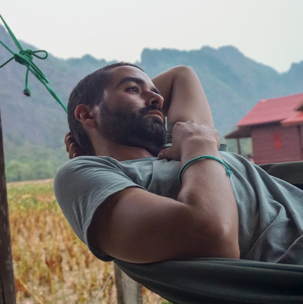
Hello from Antioquia, Colombia, this newsletter is written by me, Camilo Mazo, where I write about travel, food and other adventures.
Last weekend, I hiked Cerro Bravo (“tough mountain”) near Fredonia Antioquia, which stands at 2,645 meters above sea level. I had already hiked this mountain last year, but I didn’t make it to the top because it’s a 6-hour hike and last time I started way too late. This time, I learned my lesson and started early-ish in the morning.
At 8:45 in the morning, I arrived in the town of Fredonia, bought some snacks and water, and started the walk. From the town’s main square, walk uphill to the right, facing the church, passing Martin Fierro restaurant and Cafred Café, a great place for ice cream at the end of the walk, or the beginning, why not.
The road then turns into a zigzag cobblestone path going up the hill behind Fredonia. Once you reach the top of this hill, the path then turns into a dirt road. Here, turn right and continue following this quiet road, where you’ll pass farms, plantations, and views of grassy hills, apart from the occasional Jeep or motorcycle.


After approximately 30 minutes, the road reaches a junction, with a roofed Jesus Christ altar on one side. Continue walking through a red gate that is part of Cerro Bravo’s natural reserve. If the red gate is closed, step over the small entryway on the left to continue.
The path then takes you to a quaint red farm with Cerro Bravo as the backdrop after a couple of minutes. To the left of this farm is the hiking trail to reach Cerro Bravo’s peak. Around 15 minutes into this trail, you’ll come across a small creek crossing. Cross the creek to the left and the trail will immediately start going uphill through a path with mossy earth walls on each side.

On this section of the walk, the path is laid with stones on most parts. I wonder if it used to be the main way to travel between Fredonia and Venecia, another town along the way. Lately, I’ve been curious about these old paths in Colombia, such as Camino Real in Santander. Many of them served as the primary means of transportation in the countryside before modern road infrastructures. What’s also captivating about this path is how it literally cuts through the ground in some sections, creating tall earth walls on each side. I imagine these walls forming after centuries of people walking through them. In many cases, indigenous tribes made these paths before the arrival of the Spanish to the continent. I’m not sure if that’s the case for Cerro Bravo’s trail.
After walking through these stone-laid sections, you will start passing a couple of spots with open views and nooks to sit and rest from the ascent.
Once you reach a crossing with the sign ‘El Requintadero’, you’ll see a sign pointing to Cerro Bravo’s peak on the right. Here is where the steepness level turns up a notch. Get your hand grip ready, as you’ll have to start grabbing onto roots, branches, and stems in some sections. While it is not actual climbing, in some places you do have to be careful and hold on tightly to avoid falling.


For this reason, I don’t recommend walking to the top of Cerro Bravo if it has recently rained or looks like it’s going to rain. While you could still complete the trail, going up this last section with the wet ground will be very challenging. Fortunately, it’s not all bad news going up. Along the way, you’ll get some nice open views of the village of Rincón. This is the part where I turned back last time I was here.
The last time I walked this trail, I did it with an ex-partner. I remember many things from that last walk and the time we spent together. Enough time has passed after the end of that relationship for me to be able to say I remember them fondly.
After grabbing your way to the almost top of the Cerro, you’ll start getting to open sections with beautiful views. You are almost there, a couple more minutes and some last stretches with scruffy vegetation that can hurt your skin if you are not careful, you finally get to the top!

Take note of the path that led you to the peak. At first, I got a little confused because once you reach the top, there are other paths besides the one you just arrived at.
Unfortunately, when I reached the peak, it was completely cloudy. That’s okay for me though, a clear sky is always a nice bonus, but it’s not the determining factor of a good walk. At the top, it’s just a small open area with an almost 360º view. Here, I relaxed for a bit and ate a bocadillo, a traditional Colombian candy made with thick guava paste that’s very sweet and delicious.
I also met the only person I saw on the whole trail at the top, George from the United States. George dedicated a big portion of his life to traveling and climbing. He traveled to many countries in South America and the world on climbing expeditions. After retiring, he started coming to Colombia and living here as a pensioner. He recently started traveling more around Antioquia and was coming from Venecia on this hike.
After chatting with George, I started walking back. It shouldn’t have surprised me, but this first section on the way back was harder going down than up. I suggest bringing a walking stick or grabbing one along the way for this first steep part, as it’ll be of much help getting more traction. Once you reach the crossing with the signs, the way back is easier, but since my legs were already tired, I still tried to take it slowly.
I remember reading a book (I can’t remember the name right now) that mentioned most accidents on adventure trips happen on the final stretch of the journey. During this last stretch, our brain tends to relax, and we can become careless. This is usually when accidents happen. For that reason, I try not to get distracted and pay attention to the path until it is completely finished. Not only does it help me avoid accidents, but it is also a good mindfulness practice.
On the way back, at the junction where the altar of the Jesus Christ is, you can either return the same way you came or turn left to reach the main road, where it’ll be easier to find a taxi or a jeep. I took the latter route, but not before a big storm came through just as I was passing the Jesus Christ altar. As if by some sort of divine help, I stayed below its roof for the worst part of the storm.

